
China Deploys Advanced Weather Satellite to Assist Nepal Flood Relief Efforts
China has deployed its Fengyun-4C geostationary satellite to provide real-time weather data for search and rescue operations in Nepal. The satellite is being used to monitor severe thunderstorms following a recent glacier collapse in the region.
China is utilizing the Fengyun-4C, described as the world’s most powerful geostationary weather satellite, to support ongoing flood relief and search operations in Nepal. The initiative follows a catastrophic glacier collapse that occurred last month, which triggered significant flooding and emergency response efforts in the area.
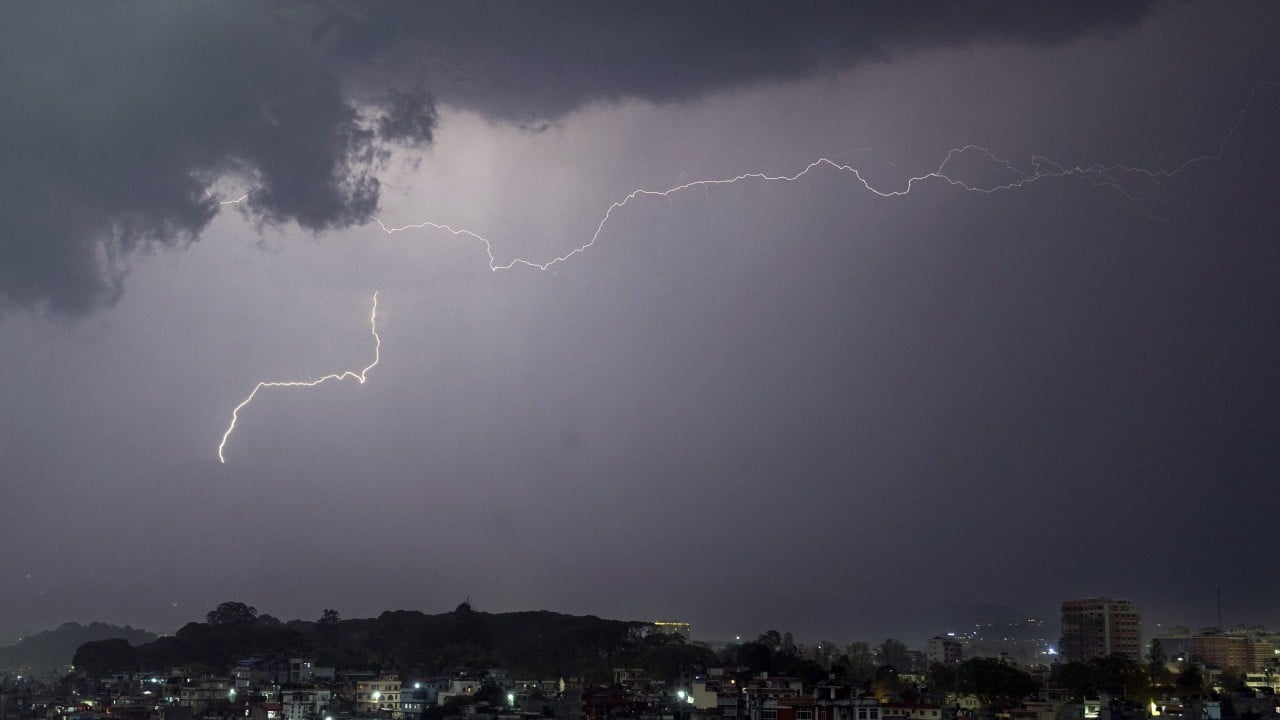
Positioned 36,000 kilometers above the equator, the satellite features a specialized Lightning Mapping Imager (LMI). This technology is capable of capturing 500 frames per second, allowing it to process 30 gigabits of data to track severe thunderstorm activity in real time. By providing high-resolution intelligence on storm patterns, the satellite aims to assist ground teams in navigating the hazardous conditions created by the disaster.
While the satellite’s technical capabilities are highlighted as a significant asset for disaster management, the report focuses primarily on the collaborative effort between China and Nepal. The deployment underscores the role of advanced space-based technology in regional emergency response, particularly in mountainous areas prone to climate-related disasters. The satellite's ability to monitor lightning and storm development is intended to improve the safety and efficiency of rescue personnel operating in the affected zones.
📡 Media Analysis
How each outlet framed the story — angles, word choices, and what they chose to push or ignore.
Highlighted China's technological contribution to regional disaster relief.
"world’s most powerful"
✓ Only outlet to report: Detailed the specific technical specifications of the Fengyun-4C satellite, including its 500 frames per second imaging capability.
🔍 What Nobody's Reporting
- ·Lack of perspective from Nepalese officials regarding the effectiveness of the satellite data.
- ·Absence of independent verification or third-party expert commentary on the 'most powerful' claim.
📰 Sources
0 A-rated source(s) among 1 total. Lowest trust: SCMP (B)