
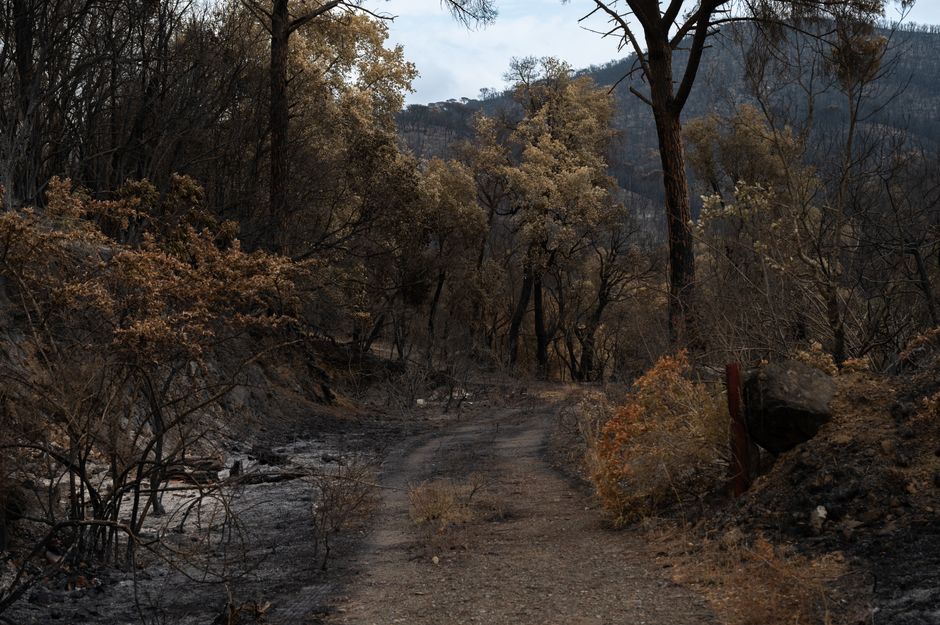
Satellite Data Tracks Ongoing Wildfire Activity Across Western Europe
Satellite imagery and mapping data are currently being used to monitor the progression of wildfires across Western Europe. These visualizations highlight the proximity of active blazes to residential areas and critical infrastructure.
As the summer season progresses, Western Europe is experiencing significant wildfire activity. Satellite imagery and mapping tools have become the primary method for tracking the spread of these fires, providing visual evidence of the scale of the destruction. These reports focus on the geographical reach of the fires, specifically mapping the distance between active flames and populated communities.
While the data confirms that multiple regions are affected, the specific impact on local economies and the long-term environmental consequences remain subjects of ongoing assessment. Authorities are using these satellite feeds to coordinate emergency responses and evacuation orders where necessary. The visual data serves as a tool for both public awareness and official disaster management, illustrating the intensity of the heatwaves that have contributed to the current fire conditions. There is currently no consensus among reporting agencies regarding the total acreage burned or the specific percentage of fires attributed to human activity versus natural causes, as data collection is still underway in several affected jurisdictions.
📡 Media Analysis
How each outlet framed the story — angles, word choices, and what they chose to push or ignore.
Used visual aids to emphasize the immediate physical threat to communities.
"ravaging"
⚡ Where Sources Disagree
- ·The total number of acres burned across the region.
- ·The primary cause of the wildfires (human vs. natural factors).
🔍 What Nobody's Reporting
- ·Specific government policy responses or fire-fighting resource allocation.
- ·The long-term environmental impact on local ecosystems.
📰 Sources
0 A-rated source(s) among 1 total. Lowest trust: NDTV (B)