
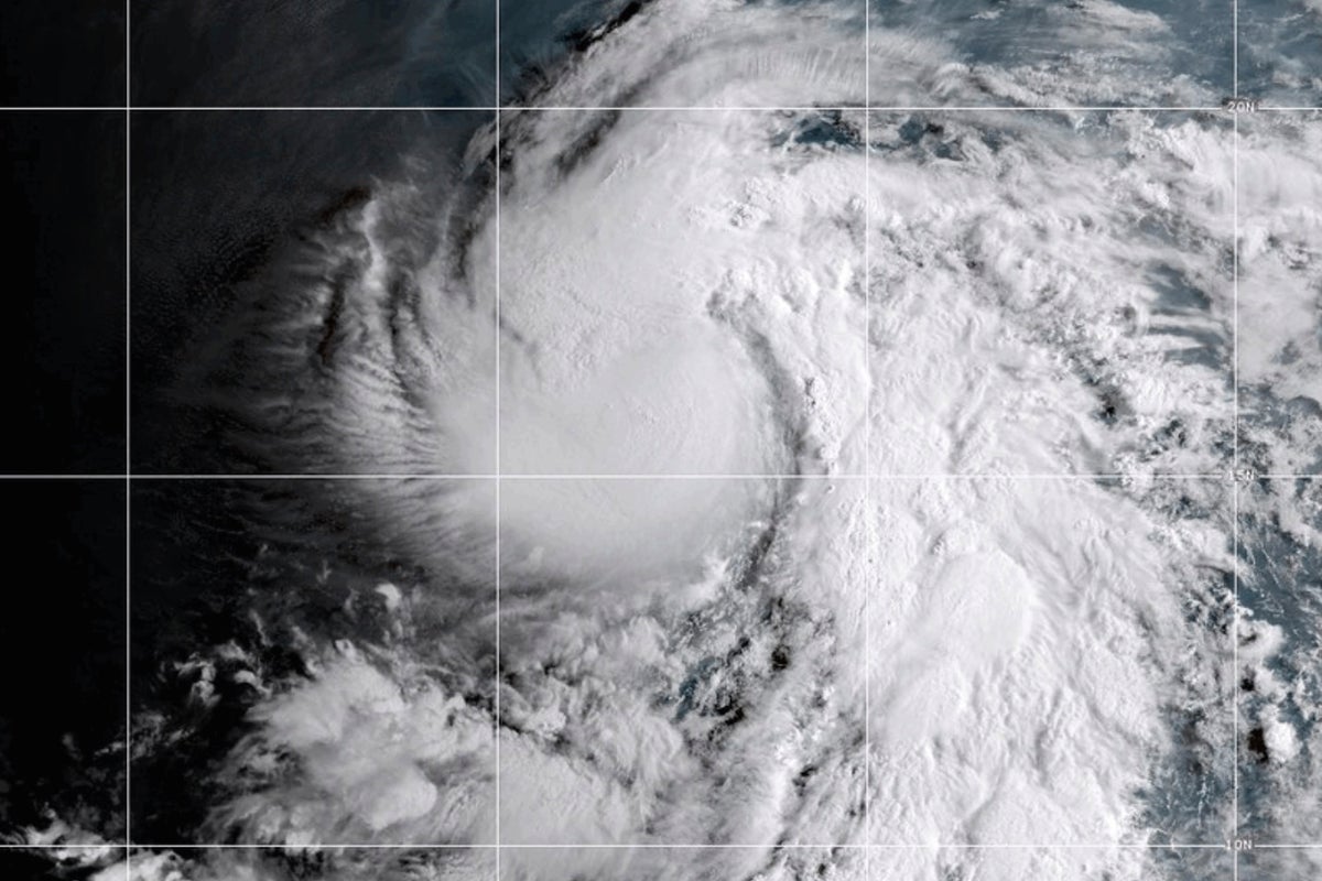
Tropical Storm Karina Intensifies Into a Hurricane in the Pacific Ocean
Tropical Storm Karina has officially strengthened into a hurricane while moving across the Pacific Ocean. Meteorologists are currently monitoring the system as it has the potential to become a major storm later this week.
Tropical Storm Karina has officially been upgraded to hurricane status as it tracks across the Pacific. The transition from a tropical storm to a hurricane indicates that the system has developed a more organized structure and sustained wind speeds exceeding 74 miles per hour.
While the storm is currently over open water, weather experts are closely watching its trajectory. Forecast models suggest that Karina could continue to intensify over the coming days, potentially reaching the status of a 'major' hurricane—a classification typically reserved for Category 3 storms or higher on the Saffir-Simpson scale.
At this stage, the primary focus for meteorologists is determining whether the storm will maintain its current path or shift toward landmasses. Because the storm is still in the early stages of its development as a hurricane, exact intensity projections remain subject to change as environmental conditions, such as sea surface temperatures and wind shear, fluctuate. Residents and maritime interests in the region are advised to monitor official updates from national weather services as the system evolves throughout the week.
📡 Media Analysis
How each outlet framed the story — angles, word choices, and what they chose to push or ignore.
Provided a brief, straightforward alert about the storm's status change without deep analysis.
"could be a major storm"
🔍 What Nobody's Reporting
- ·Lack of specific wind speed data or current coordinates of the storm.
- ·No information provided regarding potential impacts on coastal areas or shipping lanes.
📰 Sources
0 A-rated source(s) among 1 total. Lowest trust: The Independent (B)