
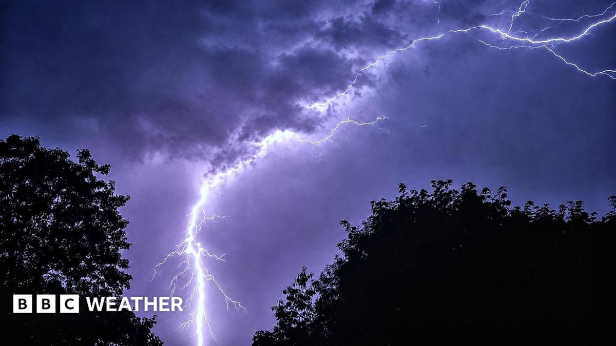
UK heatwave concludes with forecast of thunderstorms and flash flooding
Southern and eastern England are experiencing a final day of heatwave conditions before a shift in weather patterns. Forecasters have warned that this transition will likely bring thunderstorms and a risk of flash flooding.
As the current heatwave reaches its final day, parts of southern and eastern England are expected to meet official heatwave criteria once more. Meteorological data indicates that while temperatures remain high for now, a significant change in the weather pattern is imminent. This shift is expected to bring an end to the sustained period of hot, dry weather that has affected the region.
Forecasters have issued warnings regarding the transition, noting that the arrival of cooler air will likely trigger thunderstorms across various locations. Authorities have highlighted a specific risk of flash flooding associated with these storms, as the ground may struggle to absorb sudden, heavy rainfall following the prolonged dry spell. Residents in the affected areas are being advised to monitor local weather updates as the conditions evolve. While the heatwave is coming to a close, the immediate focus has shifted toward the potential for localized disruption caused by the incoming storm systems. The transition marks a return to more seasonal, cooler temperatures following the recent spike in heat.
📡 Media Analysis
How each outlet framed the story — angles, word choices, and what they chose to push or ignore.
Focused on the meteorological transition from heatwave to storm activity.
"cooler temperatures are on the horizon"
🔍 What Nobody's Reporting
- ·Lack of specific geographic areas beyond general regions.
- ·No mention of the specific time frame for the expected storms.
📰 Sources
1 A-rated source(s) among 1 total. Lowest trust: BBC News (A)