
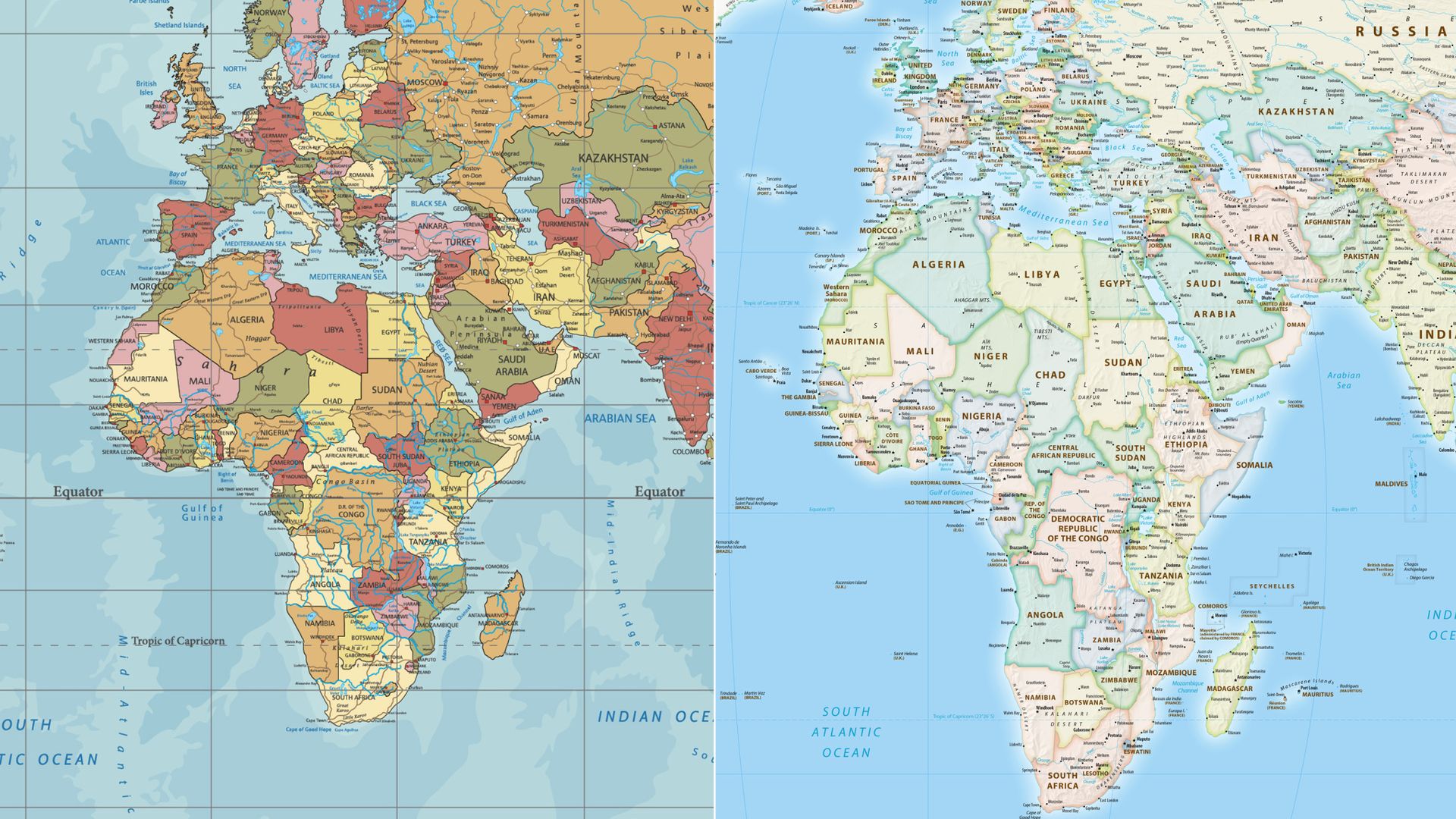
UN Member Nations Vote to Adopt More Accurate Global Map Projection
Over 160 countries at the United Nations have voted to transition away from the traditional 500-year-old global map projection. The new standard aims to provide a more accurate representation of the physical size of the African continent.
A significant majority of United Nations member states, totaling over 160 countries, have voted to replace the long-standing global map projection with a new model. The traditional map, which has been in use for nearly five centuries, has faced criticism from geographers and educators for decades due to its distortion of landmass sizes, particularly in relation to the equator.
The primary motivation behind this shift is to correct the visual representation of Africa. On the traditional Mercator projection, which was developed in 1569, landmasses near the poles appear significantly larger than they are, while regions near the equator, such as Africa, appear smaller than their actual geographic scale. The new map is intended to provide a more scientifically accurate depiction of the world's continents, ensuring that Africa’s true size is reflected in educational and official materials.
While the vote represents a major consensus among the international community, the transition will involve significant logistical updates to global cartography, school textbooks, and digital mapping services. Proponents of the change argue that the update is a necessary step toward decolonizing geographical education and providing a more equitable view of the world. There has been little public opposition to the change, though some critics of the move suggest that the traditional map remains a useful tool for navigation, which was its original intended purpose.
📡 Media Analysis
How each outlet framed the story — angles, word choices, and what they chose to push or ignore.
Focused on the historical significance of the update and the correction of geographic distortion.
"Africa's true size"
🔍 What Nobody's Reporting
- ·The specific name or technical designation of the new map projection being adopted.
- ·The timeline for when this change will be implemented in official UN documents or global education systems.
📰 Sources
0 A-rated source(s) among 1 total. Lowest trust: Sky News World (B)