
UN to Consider Proposal for New World Map Projection
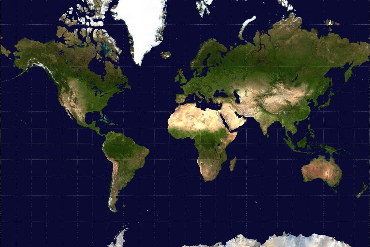
A coalition led by African nations is urging the United Nations to adopt a new world map projection. The campaign seeks to replace the traditional Mercator projection with one that more accurately represents the relative landmass sizes of all countries.
An international campaign, spearheaded by African nations, is calling for a formal shift in how the world is depicted on maps. The initiative requests that governments, educational institutions, and technology companies move away from the Mercator projection, which has been the standard for global mapping for centuries.
Proponents of the change argue that the Mercator projection, while useful for maritime navigation, significantly distorts the size of landmasses. Specifically, the projection makes landmasses near the poles appear much larger than they are, while landmasses near the equator—including the entire African continent—appear smaller than their actual geographic scale. The campaign advocates for the adoption of a projection that provides a more accurate visual representation of the true size of all countries.
The proposal is currently being presented to the United Nations, with the goal of establishing a new global standard for cartography. Supporters believe that using a more accurate map will help correct long-standing geographic misconceptions and provide a more equitable view of the world. While the Mercator projection remains deeply embedded in digital mapping tools and school textbooks, the campaign aims to influence tech firms and policymakers to transition toward alternatives that prioritize geographic accuracy over traditional navigation-based standards.
📡 Media Analysis
How each outlet framed the story — angles, word choices, and what they chose to push or ignore.
Framed the map change as a necessary correction to historical geographic bias.
"true size of all countries"
✓ Only outlet to report: Identified that the campaign is specifically targeting tech firms and schools in addition to governments.
🔍 What Nobody's Reporting
- ·Lack of perspective from cartographers or technical experts regarding the trade-offs of different map projections.
- ·No mention of potential costs or logistical challenges for tech firms to update global mapping infrastructure.
📰 Sources
0 A-rated source(s) among 1 total. Lowest trust: The Independent (B)