
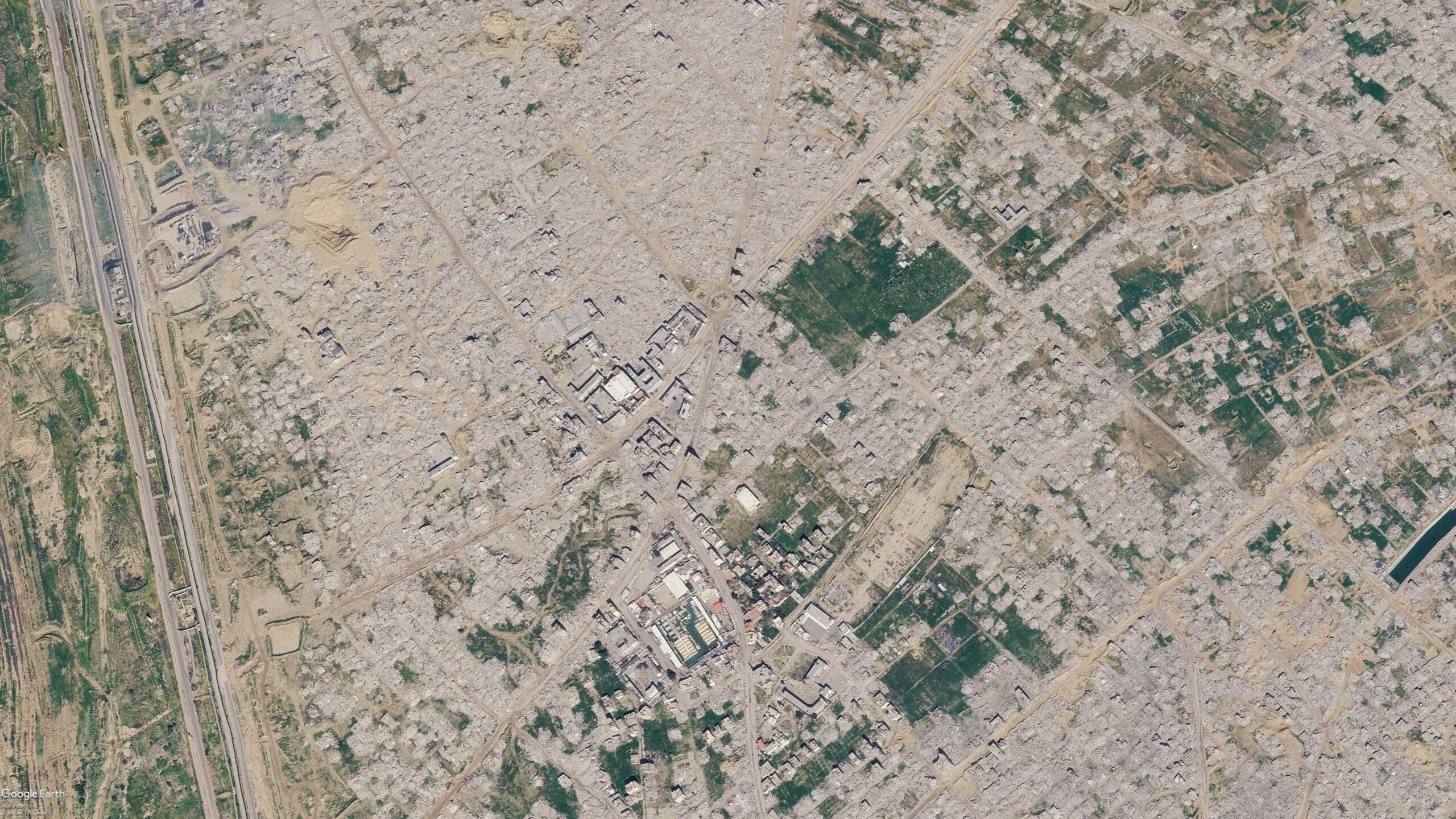
Viral Social Media Posts Claim Google Maps Updated Satellite Imagery of Gaza
Social media users are circulating Google Maps imagery that appears to show widespread destruction in Gaza, including flattened neighborhoods in Rafah. Bellingcat reports that while these images have gone viral, the timeline and nature of the updates require verification against more recent satellite data.
This week, viral posts on social media platforms claimed that Google Maps had released updated satellite imagery of the Gaza Strip. The images, which have been widely shared, depict significant infrastructure damage and the destruction of entire neighborhoods, particularly in the southern city of Rafah. The circulation of these images has fueled public discourse regarding the scale of the conflict's impact on urban areas.
Bellingcat, an investigative research group, has examined these claims. While the images show clear evidence of destruction, Bellingcat notes that the viral posts often lack context regarding when the imagery was captured and whether it represents the most current state of the region. The group has obtained its own satellite imagery to compare against the viral screenshots, suggesting that the public discourse surrounding these maps may be based on outdated or misidentified data sets. There is currently a discrepancy between the viral claims of a 'recent update' and the actual technical timeline of Google’s satellite data refreshes, which are not always instantaneous or uniform across all regions of the Gaza Strip.
📡 Media Analysis
How each outlet framed the story — angles, word choices, and what they chose to push or ignore.
Focused on verifying the technical accuracy of viral claims rather than just amplifying the images.
"The imagery shared in these posts and articles shows several areas, including the southern city of Rafah."
✓ Only outlet to report: The acquisition of independent, more recent satellite imagery to verify the viral claims.
⚡ Where Sources Disagree
- ·Whether the imagery being shared is a 'new' update from Google or older data being presented as current.
🔍 What Nobody's Reporting
- ·Official confirmation or comment from Google regarding their satellite imagery update schedule for conflict zones.
- ·The specific source or origin of the viral posts that initiated the claim.
📰 Sources
1 A-rated source(s) among 1 total. Lowest trust: Bellingcat (A)